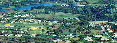
 Vedic City,
Fairfield, Iowa
Vedic City,
Fairfield, Iowanear the Physical and Population
Brahmasthan of the USA
Vedic City,
Fairfield, Iowa
|
|
|
The Geographic Brahmasthan of the United
States is
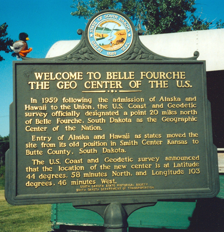
Belle Fourche, South Dakota,
the
Geographical
Center of all 50 states,
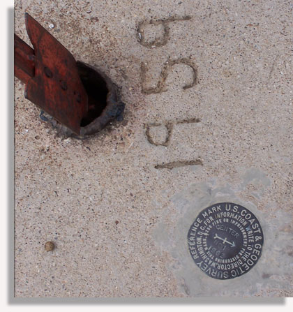
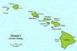
the center of rocks and dirt of the total unified country of the USA (including Alaska and Hawaii) - since 1959 |
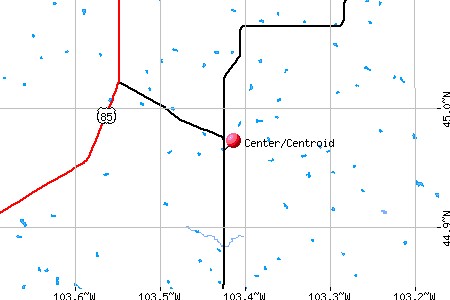
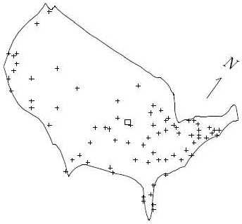
The Population Brahmasthan of the United States is
between
Edgar Springs, Missouri according to
US Census data, or
Montgomery City, Missouri
according to Dr. David Recheson, who used a computerized calculus
method (see below). |
|
|
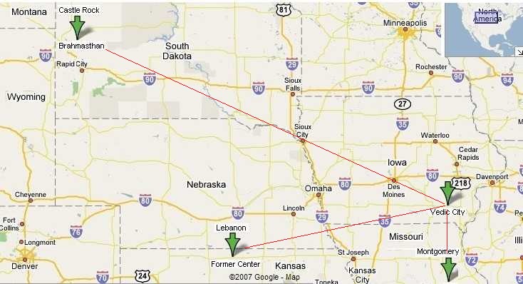
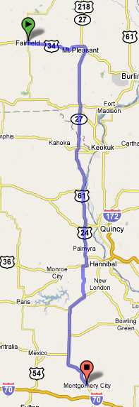
This is about 176 miles south from Vedic City, Iowa
|
|
|
|
|
Former geographic centers of the United States
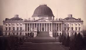
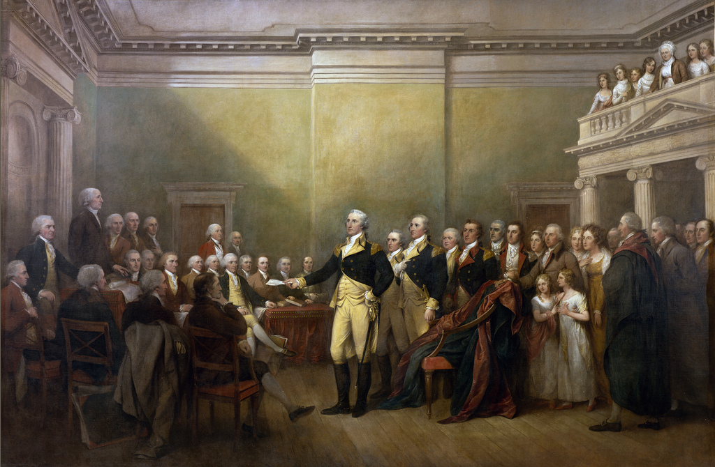
Washington DC - the First Brahmasthan
Smith Center,
Lebanon Kansas
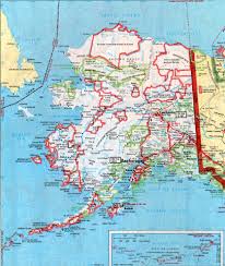
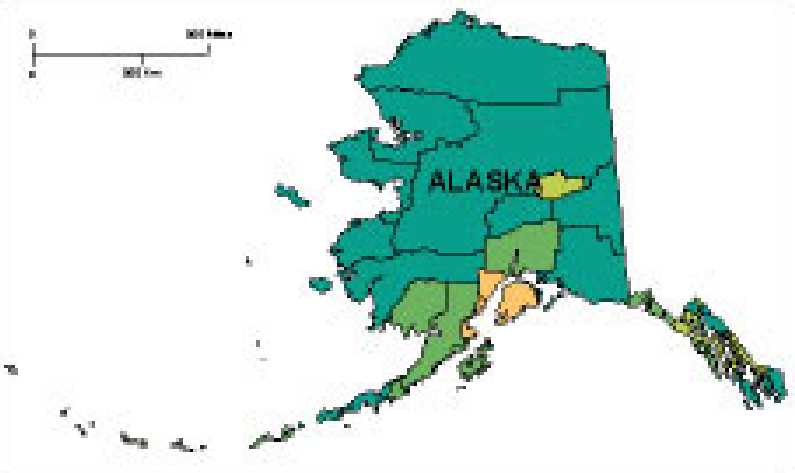
The center of the USA moved again, when Hawaii became the 50th state on August 21, 1959.
More centers of the USA throughout history |
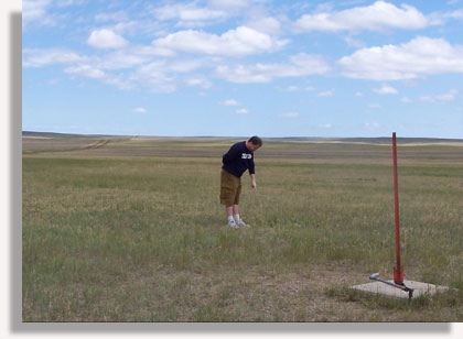
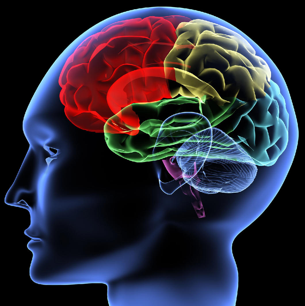
Why is the Brahmasthan important? Fairfield Iowa creates Brain Wave Coherence (BWC) from its location as the Brahmasthan of the American people, the optimal point for giving.Light from the Golden Domes generously shines like a light bulb, not expecting much to return from the darkness, just the satisfaction from spreading light. In return, Fairfield Sidhas also receive enlightenment and good karma. Brain Wave Coherence (BWC) spreads outwards from the Consciousness Brahmasthan, and is somewhat influenced by the surroundings. From Fairfield, the coherence creating group can most evenly distribute coherence to the collective consciousness of the population of the United States.
For example, if the group moves westward, then that would decrease the coherence in Maine and Florida
while the coherence would increase in Alaska and Hawaii. The
significance of the Brahmasthan is the support of nature that a
coherence creating group gives to it, by practicing the Transcendental
Meditation and TM-Sidhis Program from that point. |
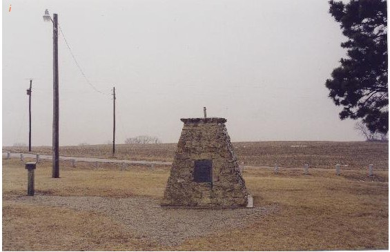
Physical (land) Center of the USA - Castle Rock, South Dakota
Population (people) Center of the USA - Montgomery City, Missouri
How Can The Locations Be Computed?
|
|
 Research
results reference: Research
results reference: The Center of the United States and other Applications of Calculus to Geography (PDF) by David Recheson, PhD Associate Professor Mathematics and Computer Science Dickinson University Carlisle, PA 17013 |
|
|
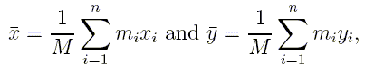
The center of mass (x, y) for a set of n points in the
plan, the ith of which has mass mi
at (xi, yi) satisfies |
||
 |
 |
|
Montgomery City, Missouri is just 176 miles south of
Fairfield &
Vedic City,
Iowa.
Edgar
Springs, Missouri was named by the Census Bureau as the population
center in 2001.
If we consider the population of Alaska and Hawaii, although relatively small, this would move the centroid north west, and nearer to Fairfield, Iowa.
He was not wrong. He was not off by a few states. He was right on.
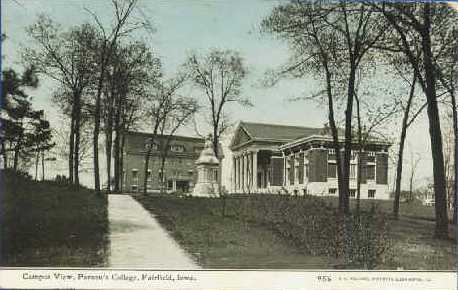

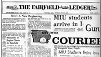
Maharishi International University moved its campus from California to Iowa
in 1974.
Maharishi chose the location by spontaneous cognition, confirmed by
mathematics.
Nature provided the perfect location, near the Brahmasthan of the USA population.
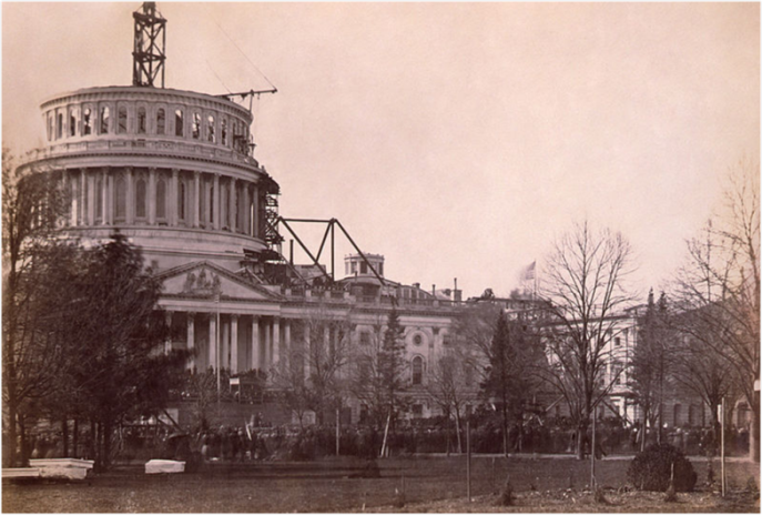
In July 1790 the District of Columbia was
founded as a planned city near the geographic center
of the original 13
colonies of the United States. It was to be a fair horse ride for
Congressmen and Senators - equal distance from the northern and southern
states.

|
 |
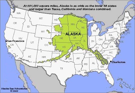
At 591,000 square miles, Alaska is as wide as the lower 48 states
and larger than Texas, California and Montana combined.
References:
Where is the geographical center of the United States?
The article is quick to point out, however, that none of the designated "centers" are truly precise or objectively determined:
Many variables exist when calculating the center of a land mass as large as the United States, and selective criteria and methods can be used, from the selection of different map projections, to defining the periphery of the shape with varying degrees of accuracy.
In fact, scientists at the Geodetic Survey have stopped calculating "centers" due to the imprecise nature of the task. Oscar S. Adams, Senior Mathematician for the U.S. Coast and Geodetic Survey, even wrote, "Since there is no definite way to locate such a point, it would be best to ignore it entirely...."

![]()
Fairfield First
Make Fairfield great again
 Geographic Center
 Population Center